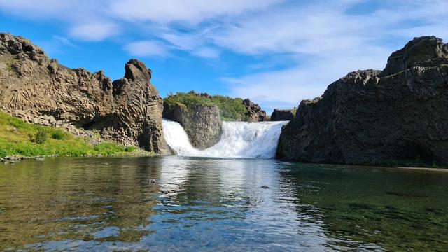
Urridafoss is a waterfall on the river Þjórsá in South Iceland, between Selfoss and Hella. It is wide rather than tall: the drop measures about six metres, but the average flow of 360 cubic metres a second is the largest of any waterfall in the country, and the second largest in Europe. The falls lie a minute off the Ring Road, with a paid car park beside them and a flat walk to two viewpoints. Landsvirkjun has plans for a hydropower station here that would make the waterfall disappear.
Urridafoss Waterfall
Local name: Urriðafoss
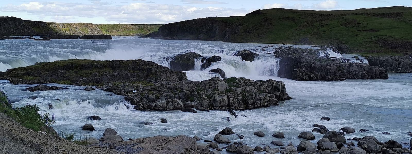
Every second, 360 cubic metres of water go over a drop of just six metres — the highest average flow of any waterfall in Iceland.
- Entrance
- Free to visit
- Accessibility
- Wheelchair-accessible entrance and seating. The walk from the car park to the viewpoints is short and flat.
- Parking
- Paid car park beside the falls, about 156 metres from the viewpoints. In early 2026 a car cost 700–750 ISK, payable through the Parka app. Space is ample.
- Difficulty
- Easy. A short, flat walk from the car park to two viewpoints, with no ascent; allow 20 minutes for the whole stop.
- Transport
- Self-drive — signposted just off the Ring Road near Selfoss
- Hours
- Open 24 hours, every day.
- Address
- Urriðafossvegur, 803
What makes it special
Volume, not height. Urridafoss drops about six metres, but 360 cubic metres of water cross the edge every second. That is the highest average flow of any waterfall in Iceland, and the second highest in Europe after the Rheinfall.
Stand near the viewpoints and the ground vibrates. The falls sit on the edge of the Þjórsárhraun lava field, one of the largest lava flows on Earth since the Ice Age. The Icelandic name means "sea trout waterfall".
Good to know
- No facilities: there are no toilets at the falls and nowhere to buy food or drink.
- Allow 20 minutes: there are two viewpoints and a flat path between them, and most visitors have seen everything within 20 minutes.
- Quiet: coach tours do not stop here, and in winter you may have both viewpoints to yourself.
Getting there
The falls are a minute or two off the Ring Road (Route 1), on the stretch between Selfoss and Hella, and the turning is easy to find. There is no public transport to the site, so the last leg is by car.
The car park sits beside the water. From there it is a short, flat walk to two viewpoints, with an information board on the way. Nothing about the approach requires effort or footwear beyond ordinary shoes.
Best time to visit
Better: winter, when a large ice formation builds up in the centre of the falls.
Avoid: no season in particular.
The river below the drop is a summer fishing spot, and anglers work the bank in the warmer months. Coach tours do not come here at any time of year, so there is no busy hour to plan around.
Sun & daylight
Nearby Places


Similar Places


Your whole travel map in one place
Get inspired by new places around the world and find the ones worth the journey
Frequently asked questions
How tall is Urridafoss?
About six metres. The scale here is width and volume rather than height: 360 cubic metres of water a second, the highest average flow of any waterfall in Iceland.What does the name mean?
"Sea trout waterfall" in Icelandic. The falls are on the river Þjórsá in the south-west of the country.Is the waterfall going to be dammed?
Landsvirkjun plans hydropower stations on the lower Þjórsá, at Urridafoss and at Núpur. The proposed Urridafoss station would have a capacity of about 125 MW and generate some 930 GWh a year, with an underground powerhouse and a tunnel opening into the river below the falls. If it is built, the waterfall disappears. Local residents are campaigning against the scheme.Has a power plant been proposed here before?
Yes. In 1927 the Fossafélagið Títan company was given permission to build a power plant at Urridafoss, together with a railway from the falls to Reykjavík. Neither was built.