Laki is a mountain in the western part of Vatnajökull National Park, in the highlands above Kirkjubæjarklaustur. A 25 km volcanic fissure cuts straight through it, and the fissure itself is called Lakagígar, the Craters of Laki. It opened on 8 June 1783 with at least 130 vents and erupted for eight months, pouring out 14 cubic kilometres of basalt lava. People come for the view from the summit, which takes in the crater row, the lava fields around it and the two ice caps beyond.
Laki Viewpoint
Local name: Laki

The fissure below the summit opened along 25 km with at least 130 vents in June 1783 and poured out 14 cubic kilometres of lava over the following eight months.
- Parking
- Free gravel car park about 950 m from the crater; a second car park lies a little further out.
- Difficulty
- Moderate hike to the summit on marked paths, as a loop or out and back; the approach road F206 needs a 4x4.
- Address
- Laki, 881, Iceland
What makes it special
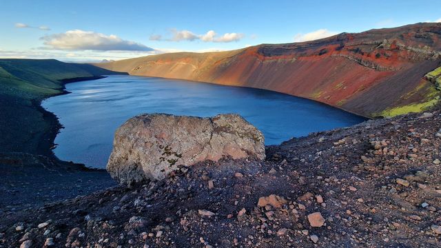
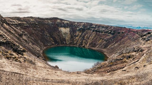
The point of the climb is the view along the crater row. From the top the fissure runs off in both directions as a line of vents, ringed in grey-green moss, with lava fields spreading out behind them. On a clear day both ice caps are visible from the summit: Mýrdalsjökull and Vatnajökull, between which Laki sits. The scale does not photograph well. In a picture the craters read as low bumps; in front of you they run to the horizon, and the size of the 1783 eruption becomes obvious in a way no figure conveys. The remoteness is part of it — this is a full day's drive into the highlands, and there is nothing else out here.
Good to know
- A 4x4 is required. F206 into Laki is rough, with loose rocks and steep pitches, and it crosses rivers that are not bridged.
- Allow a whole day. The driving is the bulk of it. Come with a full tank and with food.
- No toilets and no drinking water at Laki. Bring what you need with you.
Getting there
The last stretch is F206, a mountain track with loose rocks, steep pitches and a couple of unbridged river crossings — it takes a 4x4 and a driver willing to ford. Vehicles stop at a gravel car park under a kilometre from the crater; a second car park lies a little further out. From there a marked path climbs to the summit, and it can be walked as a loop or out and back.
Best time to visit
Better: a clear day, and a dry spell before it.
Avoid: driving in during or straight after heavy rain.
Visibility is the whole reason to climb. With cloud down you get the nearest craters and nothing beyond, and the ice caps disappear entirely. Dry weather matters for the road as well: the river crossings on F206 run lower after several days without rain.
Access & restrictions
Laki lies inside Vatnajökull National Park. The walking and hiking paths are clearly marked, and visitors are expected to stay on them. Do not step on the moss that covers the craters and the lava — it is slow to recover from footprints. Driving off the marked track is not allowed anywhere in the area.
Sun & daylight
Nearby Places
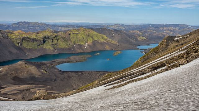
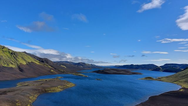

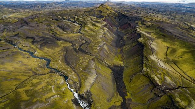
Similar Places

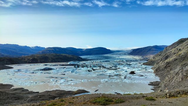

Featured in our guides
Laki Viewpoint on the map
The road in crosses rivers that are not bridged. Water levels rise with rain and meltwater, and a crossing that was easy in the morning can be deeper by evening. If one looks too deep, turn back rather than attempt it.
Get directions

Your whole travel map in one place
Get inspired by new places around the world and find the ones worth the journey
Frequently asked questions
Do you need a 4x4 to reach Laki?
Yes. F206 is rough, with loose rocks and steep sections, and it crosses rivers that are not bridged. An ordinary car cannot make the drive.How hard is the walk to the summit?
Moderate. The path from the car park is marked, the car park sits under a kilometre from the crater, and the route can be walked as a loop or out and back.What can you see from the top?
The crater row running off in both directions, lava fields beyond it, and on a clear day the ice caps of Mýrdalsjökull and Vatnajökull.Are there toilets or drinking water at Laki?
No. There are no toilets and no drinking water in the area. There is an information board near the car park.Why is Laki famous?
Its eruption of 1783–1784 released 120 million tonnes of sulphur dioxide, killed over half of Iceland's livestock and caused a famine that killed about a fifth of the population. The haze reached across Europe.