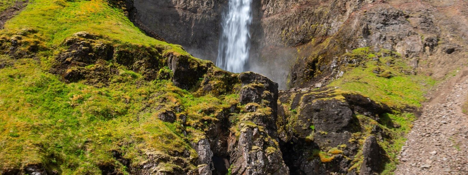
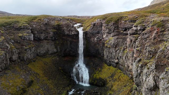
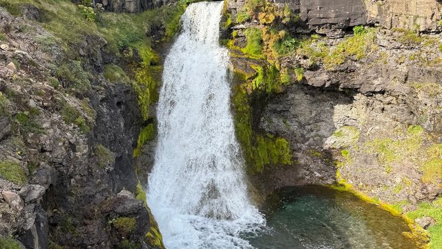
Lambagil Waterfall drops at the end of a small canyon in the Westfjords, in north-west Iceland. The lower part of the fall is reachable on foot, and you can get into the water there. From that point a narrow trail climbs the right-hand side of the canyon and leads up into the gorge, close to the main fall. It is steep and slippery, and it is what most visitors come for.
Lambagil Waterfall
Local name: Lambagil
Wild blueberries grow along the trail up the canyon, ripe by early September.
- Accessibility
- Not wheelchair accessible: no adapted parking or entrance, and the trail is steep and narrow.
- Parking
- Free. There is no marked parking area — the ground near the water is swampy, so cars stop back from it.
- Difficulty
- Steep, narrow trail up the right side of the canyon; slippery, with mud and loose rocks after rain. Boots needed.
- Hours
- Open 24 hours.
- Address
- Route 61 (Djúpvegur), Ísafjarðardjúp, Iceland
What makes it special
Lambagil sits at the end of a small canyon in the Westfjords. The lower part of the fall comes first: you can walk right up to it and step into the water. The trail that matters starts on the right-hand side of the canyon. It is marked, but the start is easy to walk straight past. It is narrow, and it climbs a steep slope up into the gorge, close to the main fall. The path runs along the edge of the riverbed, and most people finish the walk with wet feet.
Good to know
- Footwear: the canyon trail is steep and slippery. Boots with grip, not trainers — and expect wet feet.
- After rain: the path turns to mud and loose rocks, and it runs along the edge of the riverbed. Leave it alone in those conditions.
- Finding the trail: it is marked and starts on the right-hand side of the canyon, but the start is hard to spot.
- Coming down is worse than going up: the steep section is harder to descend than to climb. Turn back if it feels wrong.
Getting there
Getting to Lambagil means driving. There is no marked bay at the waterfall, so cars stop on firmer ground back from the water. A well-worn path leads from there to the lower fall. Everything beyond that is the canyon trail: it begins on the right-hand side and is marked, though the start is easy to miss. From there it is steep, narrow and slippery underfoot.
Best time to visit
Best: a dry spell in summer or early autumn, when the canyon trail is firm underfoot.
Avoid: the days after heavy rain.
Grip is the whole question at Lambagil. Two days of rain are enough to turn the trail to mud and loose rocks, and the edge of the riverbed is right beside it. Dry, the same path is only steep.
Sun & daylight
Nearby Places

Similar Places



Lambagil Waterfall on the map
The canyon trail is narrow, steep and runs close to the edge of the riverbed, with a drop below it. After rain it is mud and loose rocks. The descent is the dangerous part — the slope that felt fine on the way up gives way underfoot coming down. Do not go up without boots that grip.
Get directions

Your whole travel map in one place
Get inspired by new places around the world and find the ones worth the journey
Frequently asked questions
Can you reach the foot of the main waterfall?
No. A landslide in 2025 took out the very end of the trail, and the base of the main fall can no longer be reached. The trail still brings you up into the canyon close to it.Can you get into the water?
Yes, at the lower part of the fall. You can walk right up to it and step in. The water is cold in any season.Is Lambagil busy?
No. It draws far fewer people than the waterfalls on the main touring routes, and you may have the canyon to yourself.