The Westfjords are the north-west peninsula of Iceland and its least populated region: about 7,000 people spread over 9,409 square kilometres. Dozens of fjords cut into the coast and the road follows each one, so driving distances are long. Látrabjarg, at the westernmost point in Iceland, holds the longest bird cliff in the North Atlantic and the country's most important seabird nesting site. Drangajökull, the fifth-largest glacier in Iceland, lies in the north. Parts of Hornstrandir nature reserve hold the highest density of Arctic foxes in the world.
Westfjords
Local name: Vestfirðir

- Currency
- Icelandic króna (ISK)
- Language
- Icelandic; nearly all speak English
- Power plug
- Europlug and Schuko sockets, 230 V
- Visa
- Schengen; outside the EU
- Time zone
- UTC±00:00 (Atlantic/Reykjavik)
- Tap water
- Safe; hot water smells of sulphur
- Tipping
- Not customary
- Emergency
- 112
Things to do
All tours in Westfjords on GetYourGuide
Paid links: booking through them supports YowJourney.
When to go
Shoulder
May – May
Winter closures lift unevenly, higher passes still hold snow, and the summer buses do not start until 1 June.
High season
Jun – Aug
Roads, the Baldur ferry and the seasonal buses all run. This far north it barely gets dark in June and July. Látrabjarg and Hornstrandir are reachable.
Shoulder
Sep – Oct
Daylight shortens fast, the seasonal buses stop on 31 August, and the first snow reaches the higher roads.
Low season
Nov – Apr
Many roads are shut by ice and snow for months, and the northern towns are cut off from the southern ones. The Vestfjarðagöng tunnel eases that around Ísafjörður. At sea level this is the coldest part of Iceland, because of the East Greenland Current.
How long to stay
Five to seven days is a realistic minimum. The region covers 9,409 square kilometres, and the road bends around every fjord, so driving times run far longer than the map suggests. Reykjavík to the isthmus is at least 320 kilometres before any sightseeing starts. Three days cover one arm: the south around Patreksfjörður and Látrabjarg, or the north around Ísafjörður. Add two days to cross between them and to reach Hornstrandir nature reserve in the far north. A single overnight stop makes little sense here.
Getting around
A hire car is the practical way round. From Reykjavík the drive is at least 320 kilometres: Road 1 to Bifröst, then Road 60 to Króksfjarðarnes, where Road 60 continues into the southern Westfjords and Road 61 turns north. Those sections get winter service, mainly snow clearing, seven days a week. The ferry Baldur crosses from Stykkishólmur to Brjánslækur, 56 kilometres from Patreksfjörður, and saves a long drive.
Domestic flights leave from Reykjavík: Ísafjörður with Icelandair, Bíldudalur and Gjögur with Eagle Air. There are no non-stop flights from abroad, so every air route runs through Reykjavík.
Buses are thin. Stjörnubílar runs to Ísafjörður from Hólmavík and from the Baldur ferry, three times a week each, and only between 1 June and 31 August. Around Ísafjörður and Suðureyri local lines run roughly hourly until 19:00, with three trips a day between Bolungarvík and Ísafjörður.
Local rules
Off-road driving is illegal. The ban applies across Iceland and covers beaches, riverbeds and moss-covered ground. The fines are heavy. Stay on the marked road.
Camping is restricted to marked sites. Pitching a tent outside a campsite is limited by law, and campervans may not be parked overnight outside designated sites.
Alcohol comes from the state off-licence. Anything stronger than light beer is sold only in the state alcohol shops, bars and restaurants. Supermarkets stock nothing stronger.
What to see
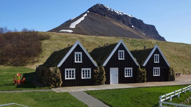
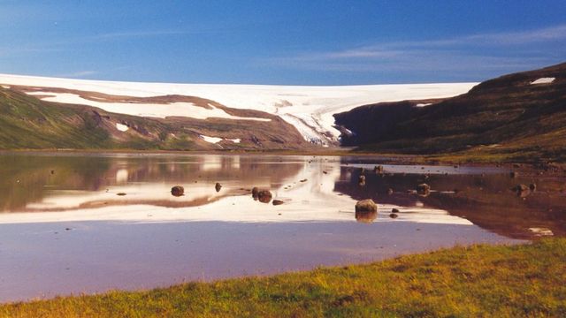
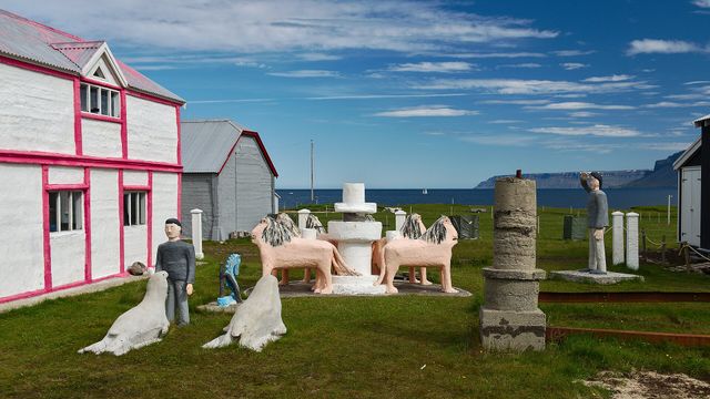

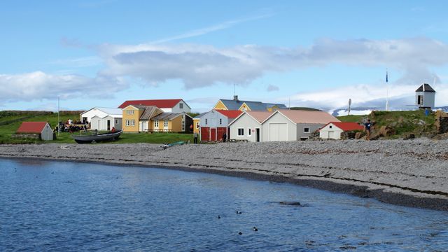


Destinations in the Westfjords
Frequently asked questions
How do you get to the Westfjords from Reykjavík?
By car it is at least 320 kilometres: Road 1 to Bifröst, Road 60 to Króksfjarðarnes, then Road 60 for the south or Road 61 for the north. The ferry Baldur from Stykkishólmur lands at Brjánslækur in the south. Domestic flights go to Ísafjörður, Bíldudalur and Gjögur.Can you fly into the Westfjords directly from abroad?
No. International arrivals land at Keflavík, and every domestic route runs through Reykjavík, which is the hub for Icelandic air traffic.Are the roads open in winter?
Many are closed by ice and snow for several months, which separates the northern towns from the southern ones. The Vestfjarðagöng tunnel, open since 1996, improved the situation. The main approach roads from Reykjavík get snow clearing seven days a week.Where are the bird cliffs?
At Látrabjarg in the south-west, the westernmost point in Iceland. It is the longest bird cliff in the northern Atlantic and the most important seabird nesting site in the country: puffins, guillemots, kittiwakes, fulmars and Arctic terns.Where can you see Arctic foxes?
In Hornstrandir nature reserve in the north. Parts of it, such as Hornvík, hold the highest density of Arctic foxes in the world.