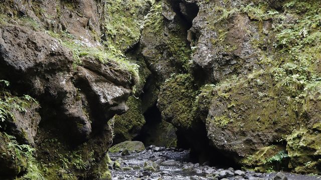
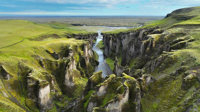
Markarfljótsgljúfur is a canyon in the highlands of South Iceland, in the municipality of Rangárþing eystra. The glacial river Markarfljót runs along its floor, and the walls fall away from the rim to the water. The canyon lies beside the Laugavegur trail, and walkers staying at the Emstrur hut go west to see it. There is no visitor infrastructure of any kind: no toilets, no drinking water, no information point. People come for the view from the rim and the walk that leads to it.
Markarfljótsgljúfur Canyon
Local name: Markarfljótsgljúfur

The river cut the canyon through móberg — palagonite rock formed by volcanic eruptions under ice.
- Accessibility
- Not wheelchair accessible: no accessible parking and no step-free entrance.
- Parking
- Nearest mapped car park about 1.5 km from the canyon.
- Transport
- No public transport: no bus stop within 5 km.
- Address
- Emstrur, 861
What makes it special
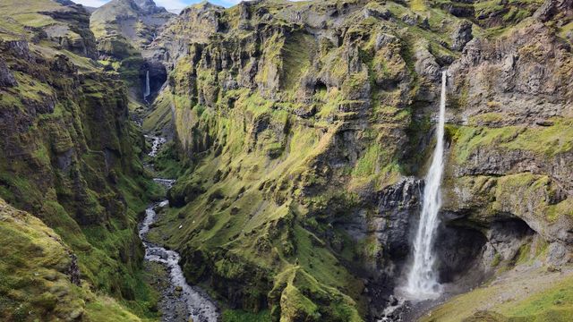
This is a viewpoint you walk to. The Laugavegur trail passes above the canyon, and walkers based at the Emstrur hut reach the rim on a short walk west. From the edge the ground falls away to the Markarfljót, a grey glacial river spread across the canyon floor in braided channels. The rock is bare and layered, with nothing growing to soften the drop. Guided 4x4 Super Jeep tours come out here too, so not everyone arrives on foot. The scale registers first. The canyon runs out of sight in both directions, and the river looks small from above.
Good to know
- No toilets and no drinking water within 5 km of the canyon. Carry what you need.
- No information point within 5 km either — nothing on the ground explains the canyon.
- Boots, not trainers. Parts of the walk in are muddy and slippery.
Getting there
Most people arrive on foot. The canyon lies beside the Laugavegur trail, and walkers based at the Emstrur hut reach the rim on a short walk west. Guided 4x4 Super Jeep tours also come out here. Driving yourself does not put you at the edge: the nearest mapped parking is away from the canyon, and a walk remains at the end.
Sun & daylight
Nearby Places

Similar Places

Markarfljótsgljúfur Canyon on the map
The canyon edges are unstable and the surface at the rim can give way. Stay back from the lip, and do not step out onto it for a photograph.
Get directions

Your whole travel map in one place
Get inspired by new places around the world and find the ones worth the journey
Frequently asked questions
Where is Markarfljótsgljúfur?
In the highlands of South Iceland, in the municipality of Rangárþing eystra. The canyon lies beside the Laugavegur trail, close to the Emstrur hut.How do you reach the canyon?
On foot. From the Emstrur hut it is a short walk west to the rim. Guided 4x4 Super Jeep tours also come out here. There is no bus stop within 5 km.Are there toilets or drinking water?
No. There are no toilets, no drinking water and no information point within 5 km of the canyon.What should I wear?
Hiking boots. Parts of the walk in are muddy and slippery.Is the canyon safe to walk along?
The rim is the danger. The surface at the edge is unstable, so keep back from it.