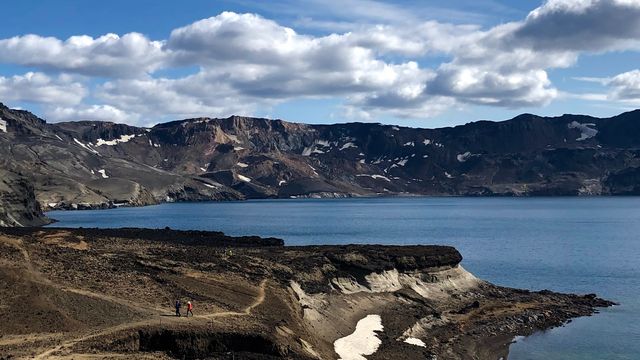
Mývatn is a shallow lake in northern Iceland, near the Krafla volcano and on the Ring Road across the north. A basaltic lava eruption about 2300 years ago dammed the lake and left the landforms around it: rootless cones, crater rows and fields of standing lava pillars. Nutrient-rich spring water makes the lake one of the richest breeding sites for ducks in Europe. The lake, the Laxá river and the surrounding wetlands are protected as a nature reserve.
Lake Mývatn
Local name: Mývatn
Mývatn is one of the few places in the world where marimo — free-floating balls of green algae — grow naturally. They appeared to have died out here in 2013 and are only now forming again.
- Entrance
- Free
- Accessibility
- Circled by road; individual sights vary from roadside to a hike
- Parking
- Free pull-offs around the lake
- Difficulty
- Easy — mostly seen by car and short stops
- Transport
- Self-drive (Ring Road, Route 1 + Route 848)
- Address
- 660 Mývatn
What makes it special
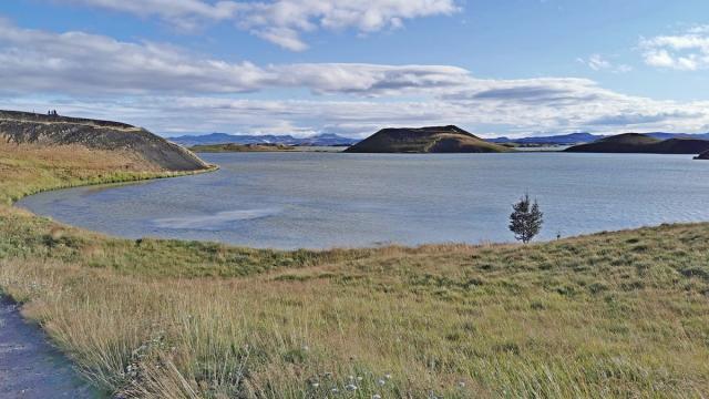
Hverfjall is a tephra crater thrown up by one brief, gigantic eruption 2500 years ago, and the lake lies below it: shallow water, low islands, a shoreline broken into coves. Dimmuborgir does the same thing at ground level. It is a field of standing rock pillars, left behind when a temporary lava lake drained away and the cooled columns stayed put. At Höfði the pillars stand in the lake water itself.
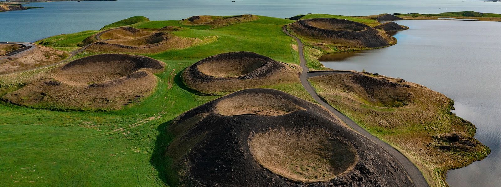
The craters at Skútustaðagígar never erupted at all. Lava ran over waterlogged lake sediment, the trapped water flashed to steam, and the ground blew open from below. Geologists call the result rootless cones, and this group is protected as a natural monument.
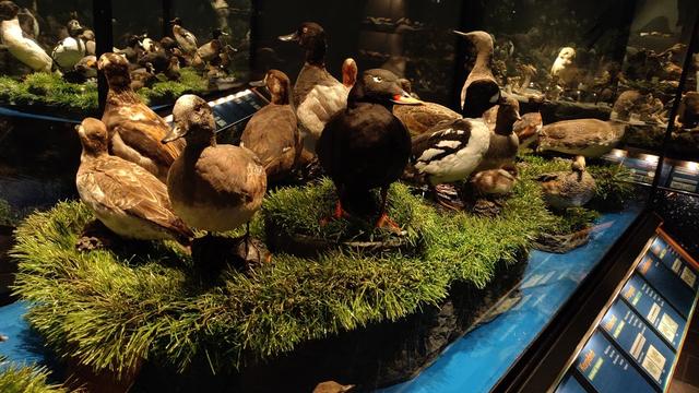
The water is fed by nutrient-rich springs and is nowhere deeper than 4.5 metres, and it produces aquatic insects in abundance. That feeds the birds. Fifteen duck species breed at Mývatn, more than at any other site in Europe.
Good to know
- Midges: the lake is named after them and they swarm in summer. A head net is worth packing if you plan to stand by the water.
- Time: the area holds several separate stops around the shore. One day covers them in outline only.
- Supplies: Reykjahlíð has a supermarket, a Vínbúðin bottle shop, a fish and chips restaurant, campsites and somewhere to stay.
- Visitor centre: the Mývatn Visitor Centre sits at the southwest end of the lake.
- Protected area: the lake, the Laxá river and the wetlands form a nature reserve of 4,400 km².
Getting there
Mývatn lies on the Ring Road between Akureyri and Egilsstaðir, the main route across northern Iceland. There is no single entrance: the whole basin is the destination, and the sights sit at separate points around the shore. The Skútustaðagígar pseudocraters are on the south side, the village of Reykjahlíð on the northeast corner, and the Mývatn Visitor Centre at the southwest end. Dimmuborgir, Höfði and the Hverfjall crater are stops of their own. A visit is a drive from one to the next rather than one walk.
Best time to visit
Better: late spring and summer. Most of the ducks are migratory and arrive from north-western Europe in late April and early May, and the lake is open water rather than ice.
Avoid: midwinter, if the birdlife is the reason for coming. Winters here are very long and cold, and the lake freezes apart from the patches the springs keep open.
The trade-off is written into the name. Mý means midge, and in summer they come in clouds; a head net makes the shore bearable.
Sun & daylight
Nearby Places


Similar Places


Lake Mývatn on the map
In warm, still weather huge swarms of midges gather along the shore from late spring into summer — carry a fine head net; the clouds are harmless but can be overwhelming.
Get directions

Your whole travel map in one place
Get inspired by new places around the world and find the ones worth the journey
Frequently asked questions
Why is the lake called Mývatn?
Mý means midge and vatn means lake, so the name reads as "the lake of midges". It comes from the huge numbers of midges present in summer.Are the craters around the lake real volcanoes?
The groups on the shore are not. They are rootless cones, built by repeated steam explosions where lava flowed over waterlogged lake sediment. Hverfjall, by contrast, is an explosion crater from an eruption 2500 years ago.How deep is Mývatn?
It averages 2.5 metres, with a maximum depth of 4.5 metres. The shallow, spring-fed water is what makes the lake so productive for insects and birds.What birds breed at the lake?
Fifteen species of duck, the largest number of any site in Europe. Tufted duck is the commonest with about 6,000 pairs, followed by greater scaup with about 1,500. Barrow's goldeneye nests in cavities in the lava and depends entirely on the Mývatn–Laxá system.Is there anything to do here besides the lake itself?
The area is a set of volcanic sites: the Dimmuborgir lava pillars, the Hverfjall crater, the Skútustaðagígar pseudocraters and the lava pillars standing in the water at Höfði. The Laxá river, which drains the lake, is known for brown trout and Atlantic salmon.