Reykjahlíð stands on the shore of Lake Mývatn in the north of Iceland and had 227 inhabitants in 2021. At 292 metres above sea level it is the highest-lying town in the country. Lava from the Krafla eruptions of 1729 destroyed the village, but the flow stopped in front of the church on higher ground; the present church was built in 1972. The village is the practical base for Krafla, the Víti crater, Hverfjall, Dimmuborgir and the Mývatn Nature Baths, and for the waterbirds that make the lake one of the leading bird-watching sites in the world.
Reykjahlíð

- Currency
- Icelandic króna (ISK)
- Language
- Icelandic; nearly all speak English
- Power plug
- Europlug and Schuko sockets, 230 V
- Visa
- Schengen; outside the EU
- Time zone
- UTC±00:00 (Atlantic/Reykjavik)
- Tap water
- Safe; hot water smells of sulphur
- Tipping
- Not customary
- Emergency
- 112
Things to do
All tours in Reykjahlíð on GetYourGuide
Paid links: booking through them supports YowJourney.
When to go
Shoulder
Apr – May
Most nesting birds arrive at the lake in late April or early May. The wetlands fill up before the summer traffic does.
High season
Jun – Aug
The warmest and busiest months: July averages 10.2 °C, and the local population swells with seasonal staff. Midges and black flies hang in clouds over the lake, so bring netting.
Shoulder
Sep – Oct
Daylight shortens fast at 65 degrees north and the sightseeing flights stop. The area is one of the sunniest in Iceland, but fog and high wind arrive without warning.
Low season
Nov – Mar
Winter is long rather than extreme: January averages −0.2 °C. Some hotels stay open and sell jeep rides over snow, go-karting on ice and ice-bowling.
How long to stay
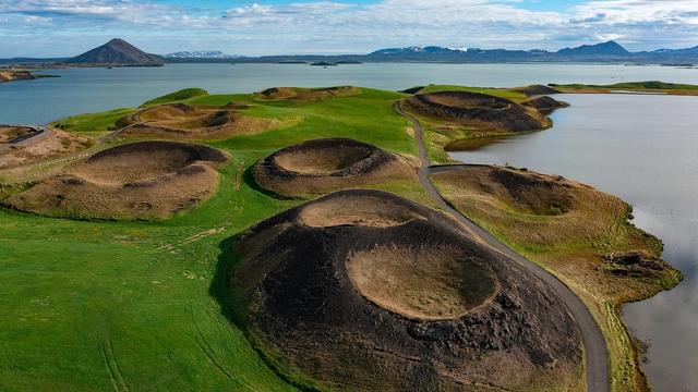
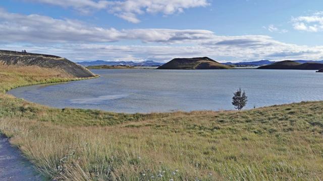
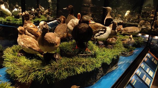
Two days are enough for the essentials: the 36 km road around the lake, the pseudo-craters at Skútustaðir, Dimmuborgir and Hverfjall on one day, the Krafla area and the Víti crater on the other. A third day leaves room for the Mývatn Nature Baths and a slow morning with the waterbirds, which is the reason many people come at all. Birdwatchers regularly stay longer, since over 115 species have been recorded at the lake.
Getting around
A car is the easiest way to get around the Mývatn area. There is almost no public transport once you arrive, so anyone coming by bus is left with walking, cycling and hitchhiking. The road around the lake is about 36 km, which makes cycling realistic for a full day. In winter that same ride is cold and exposed. Local trips run from Reykjahlíð, Skútustaðir and Vogar; shop staff and information centres know what is going out that day. Buses reach the area from Akureyri, and cyclists face a 90 km ride from there. A small local airport sells sightseeing flights in summer only.
What to see

Destinations in Reykjahlíð
Frequently asked questions
Are the midges as bad as the name suggests?
The name Mývatn comes from the vast numbers of midges at the lake. Bring mosquito netting in summer: the black flies are the reason so many birds nest here, and they bite.What can be reached from Reykjahlíð?
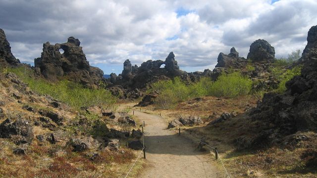
Krafla, which last erupted in 1984 and still shows steaming lava and sulphur springs. Nearby is the Víti crater, with a blue lake at the bottom and an eruption as recent as 1976. Around the lake itself are the Hverfjall volcano, the pseudo-craters at Skútustaðir and the lava formations of Dimmuborgir.Is there a geothermal bath?
The Mývatn Nature Baths opened on 30 June 2004 and are in the Reykjahlíð area.Where do you buy food and fuel?
Fuel, groceries and souvenirs are sold in Reykjahlíð beside the N1 station, and in Skútustaðir. Both towns have restaurants and grocery shops. Local specialities are hverabrauð, a molasses bread baked underground for 24 hours by geothermal heat, and smoked trout.What are the real dangers here?
Weather and thermal ground, not crime. Fog, high wind or a storm can turn a good day into a survival situation. Thermal pools are often boiling and the crust around them is unstable, so stay behind every barrier and read every warning sign.