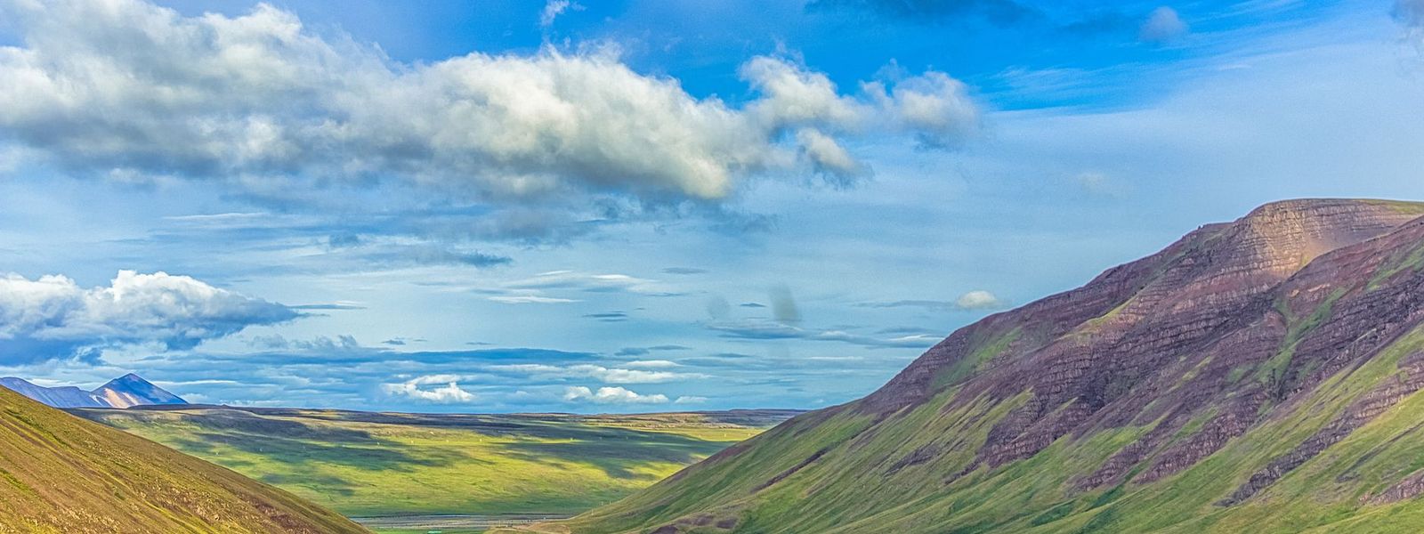
Northwest Iceland is one of the eight traditional regions of the country. It covers 12,737 square kilometres of the north coast and holds about 7,300 people. Sauðárkrókur is the largest town, with 2,609 residents in 2024; everything else is a village or a farm. The main attraction is Hvítserkur, a basalt rock 15 metres high standing in the sea, its shape usually described as a dragon lowering its head to drink.
Northwest Iceland
Local name: Norðurland vestra
- Currency
- Icelandic króna (ISK)
- Language
- Icelandic; nearly all speak English
- Power plug
- Europlug and Schuko sockets, 230 V
- Visa
- Schengen; outside the EU
- Time zone
- UTC±00:00 (Atlantic/Reykjavik)
- Tap water
- Safe; hot water smells of sulphur
- Tipping
- Not customary
- Emergency
- 112
Things to do
All tours in Iceland on GetYourGuide
Paid links: booking through them supports YowJourney.
When to go
High season
Jun – Aug
Daylight runs almost around the clock in June, and the side roads to the coast are all open.
Shoulder
Sep – Oct
Daylight drops away fast, the first snow reaches the higher passes, and the aurora is visible on clear nights.
Low season
Nov – Mar
A few hours of light around midwinter. Snow and wind shut the side roads, sometimes for days.
Shoulder
Apr – May
Light returns quickly, but snow lingers in the inland valleys well into May.
How long to stay
Two to three days is a realistic stay. The region covers 12,737 square kilometres and holds about 7,300 people, so the distances between stops are long and the stops themselves are small. Sauðárkrókur, the largest town at 2,609 residents, is the practical base for a night or two. One day is enough only for Hvítserkur and a single valley on the way through. Allow an extra day in winter, when short daylight limits how far you can drive between dawn and dark.
Getting around
A hire car is the practical way to see Northwest Iceland. About 7,300 people live across 12,737 square kilometres, so scheduled transport between the villages is thin and the gaps between fuel stops are long. Sauðárkrókur, the largest town, is the sensible place to base, refuel and shop. The roads out to the coast and up the valleys are slow, and a drive takes longer than the distance suggests. In winter, snow and wind close the smaller roads, sometimes for days at a time.
Local rules
- Driving off marked roads and tracks is banned throughout Iceland, including on gravel, sand and moss. The tyre scars last decades and the fines are heavy.
- Camping outside marked campsites is restricted. Campervans and caravans belong on an organised site, and pitching on farmland needs the landowner's permission.
- Anything stronger than light beer is sold only in state-run shops. Supermarkets and petrol stations do not stock wine or spirits.
What to see

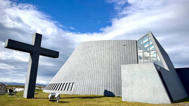


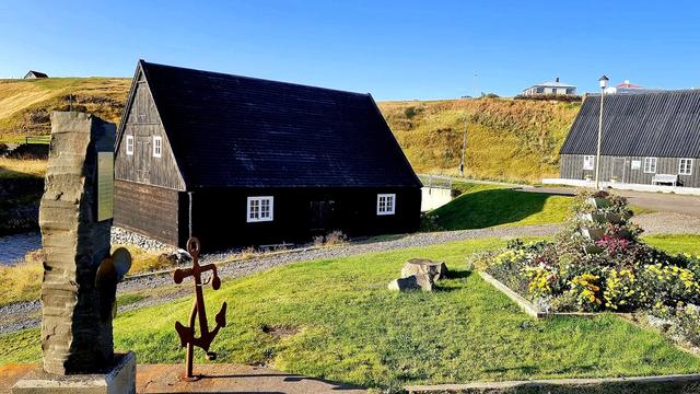
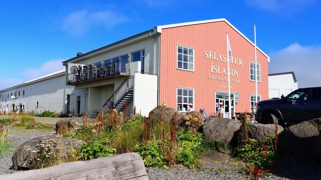
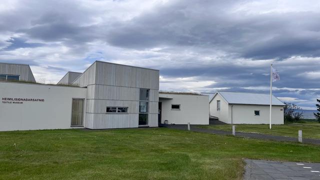
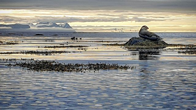
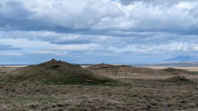

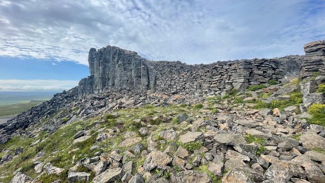
Destinations in Northwest Iceland
Frequently asked questions
What is Northwest Iceland known for?
Hvítserkur, a basalt rock 15 metres high standing in the sea. Its shape is usually described as a dragon lowering its head to drink. It is the main attraction of the region.Which town works as a base?
Sauðárkrókur. It is the largest town in Northwest Iceland, with 2,609 residents in 2024, and every other settlement in the region is smaller.How empty is the region?
About 7,300 people live across 12,737 square kilometres, which is roughly one resident per two square kilometres. Settlements are small and far apart.Is Northwest Iceland an official region of the country?
Yes. It is one of the eight traditional regions of Iceland and lies in the north of the island.