The Capital Region is one of Iceland's eight regions and sits in the south-western corner of the island. It covers 1,046 km² and consists of the national capital, Reykjavík, and six municipalities around it. About two-thirds of the country's population lives here, some 249,000 people as of 2025, and more than 98% of them in the single continuous built-up area of Greater Reykjavík. It is the smallest Icelandic region by area, the densest by far, and the seat of national government.
Capital Region
Local name: Höfuðborgarsvæðið

- Currency
- Icelandic króna (ISK)
- Language
- Icelandic; nearly all speak English
- Power plug
- Europlug and Schuko sockets, 230 V
- Visa
- Schengen; outside the EU
- Time zone
- UTC±00:00 (Atlantic/Reykjavik)
- Tap water
- Safe; hot water smells of sulphur
- Tipping
- Not customary
- Emergency
- 112
Things to do
All tours in Capital Region on GetYourGuide
Paid links: booking through them supports YowJourney.
When to go
Shoulder
Apr – May
Daylight lengthens quickly and the region is quieter than in midsummer.
High season
Jun – Aug
At 64°N the nights barely go dark, and the capital area is at its busiest.
Shoulder
Sep – Oct
Days shorten fast and the nights turn properly dark again.
Low season
Nov – Mar
Only a few hours of daylight around midday. The region is coastal and low-lying, so winter here is wet and windy rather than deeply frozen.
How long to stay
Two to three days is enough for the Capital Region itself. It is the smallest of Iceland's eight regions at 1,046 km², and more than 98% of its people live in one continuous built-up area, so distances inside it are short. The region also works as a base for the south-west: Southern Peninsula, Western Region and Southern Region all begin at its borders. Add a day for the rural north of the region, around Kjósarhreppur, which is entirely rural and holds the smallest population of the seven municipalities.
Getting around
Public transport is a municipal responsibility here, so buses serve the built-up area rather than the region as a whole. Greater Reykjavík is one continuous urban area that straddles several municipal boundaries, and that is where the network is worth using. For everything else, hire a car. The region is small enough that no drive inside it is long. One caveat: Kjósarhreppur, the largest municipality by area at 284 km², is entirely rural, and buses are not a realistic way of reaching it. The same goes for the small urban pockets of Álftanes, Grundarhverfi and Mosfellsdalur, which lie outside the main built-up area.
What to see


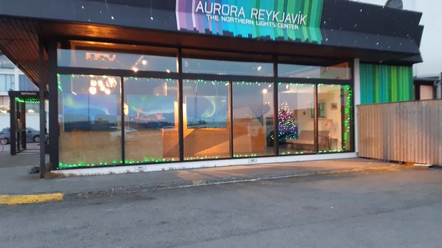


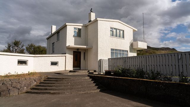
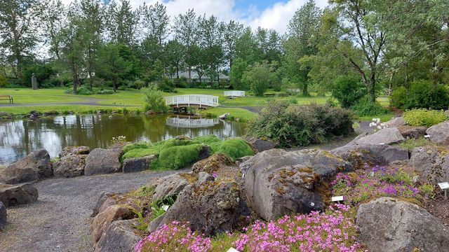
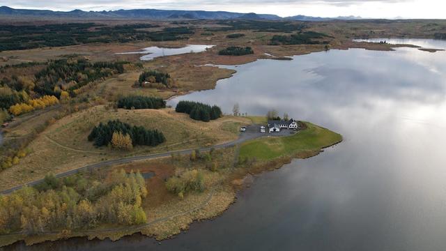


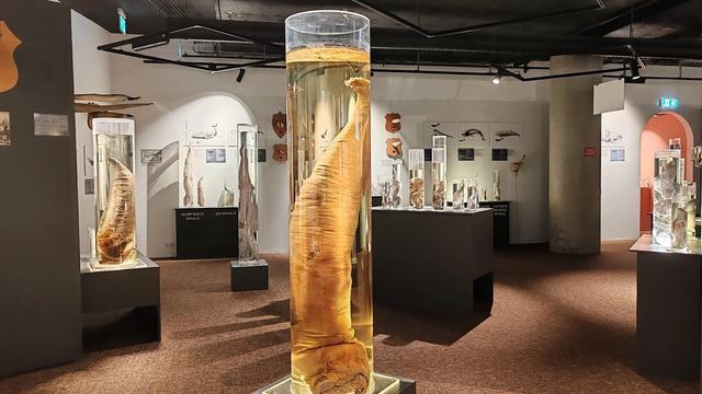
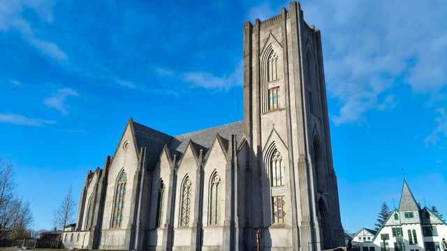
Destinations in the Capital Region
Frequently asked questions
Which municipalities make up the Capital Region?
Seven: Reykjavík and six municipalities around it. Reykjavík is by far the largest by population, with 138,772 inhabitants. Kjósarhreppur is the largest by area at 284 km² and entirely rural. Seltjarnarnes is the smallest by land area. Each has its own elected council and runs local services such as waste, public transport and fire fighting.How big is the Capital Region?
1,046 km², much smaller than the other Icelandic regions. It still holds about two-thirds of the country's population — 249,054 people as of 2025 — at a density of 238 inhabitants per square kilometre.What is Greater Reykjavík?
A contiguous urban area defined by Statistics Iceland for statistical purposes, and it does not follow municipal boundaries. It houses more than 98% of the region's population and takes in three municipalities completely plus most of Reykjavík and two others. Only Kjósarhreppur lies outside it.Which regions border the Capital Region?
Southern Peninsula to the south, Western Region to the north and Southern Region to the east. The western side is coast, where the North Atlantic and Arctic oceans meet.